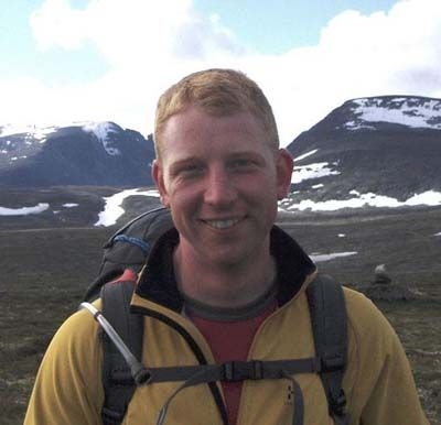
Dr Pete Bunting
PhD BEng

Reader
Department of Geography and Earth Sciences
Contact Details
- Email: pfb@aber.ac.uk
- ORCID: 0000-0002-7435-0148
- Office: H5, Llandinam Building
- Phone: +44 (0) 1970 622615
- Personal Website: https://www.remotesensing.info
- Google Scholar: https://scholar.google.co.uk/citations?user=RJ2x3_wAAAAJ
- Research Portal Profile
Profile
Pete Bunting is a Reader in Remote Sensing within the Department of Geography and Earth Sciences (DGES). He original joined the department in 2004 when he undertook his PhD, lectured from 2017-2011 before working for Landcare Research, NZ, returning in 2012. Prior to joining the department he undertook his undergraduate degree in Computer Science, also at Aberystwyth University.
Teaching
Module Coordinator
- EAM4020 - Fundamentals of Remote Sensing and GIS
- EAM3060 - Research Dissertation in Geographical Information Systems/Remote Sensing
- GS32020 - Monitoring our Planet's Health from Space
- GS23710 - Geographical Information Systems
- EAM5520 - Machine Learning for Geospatial Applications
Lecturer
- GS34040 - Geography Dissertation
- GS21120 - Physical Geography and Environmental Science Research Design and Fieldwork Skills
- EAM1120 - Advanced Research Skills 1: science communication and data analysis
- GS23710 - Geographical Information Systems
- GS20020 - Geography Research Design and Fieldwork Skills
- EAM3060 - Research Dissertation in Geographical Information Systems/Remote Sensing
Coordinator
- EAM5520 - Machine Learning for Geospatial Applications
- GS32020 - Monitoring our Planet's Health from Space
- GS23710 - Geographical Information Systems
- EAM3060 - Research Dissertation in Geographical Information Systems/Remote Sensing
- EAM4020 - Fundamentals of Remote Sensing and GIS
Tutor
Research
Dr Bunting's research is concerned with the computational processing of spatial data, primarily for the mapping of land surfaces & biophysical attributes both in terms of their current state & as they change through time using remotely sensed (terrestrial, airborne & spaceborne) & ancillary GIS data, to inform policy & understand the processes of change. In particular, his research involves the development of new & automated techniques for information retrieval from image & 3D point cloud datasets.
Much of his research has been combined within a group of open source software libraries (RSGISLib - https://www.rsgislib.org & SPDLib; http://www.spdlib.org; KEALib: http://www.kealib.org; ARCSI https://arcsi.remotesensing.info). Key results include the:
- Produced the first global automated classifications of mangrove forest extent and change from satellite imagery using a globally consistent methodology as part of the global mangrove watch (https://www.globalmangrovewatch.org).
- Developed the SPD software library which is the first of its kind to support operational processing of the latest full waveform & multispectral LiDAR datasets.
- Developed the RSGISLib software which is used globally by many others for the processing of remotely sensed and GIS data.
Currently work is focused on improving global mangrove mapping, extending methods to other forest types and the estimation of biomass change globally as part of the CCI Biomass project.
