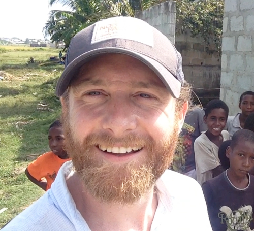
Dr Andy Hardy
PhD Geomatics, MSc Environmental Monitoring, Modelling and Reconstruction, BSc Geography.

Senior Lecturer in Remote Sensing and GIS
Department of Geography and Earth Sciences
Contact Details
- Email: ajh13@aber.ac.uk
- ORCID: 0000-0002-7928-8873
- Office: F5, Llandinam Building
- Phone: +44 (0) 1970 621522
- Twitter: ajhardy13
- Research Portal Profile
Profile
I am currently a lecturer in Remote Sensing in GIS in the Dept. Geography and Earth Sciences at Aberystwyth University, UK. With a PhD in Geomatics (Newcastle University, UK) and an MSc in Environmental Modelling and Monitoring (Manchester University, UK) I have a background in hydrological/environmental modelling, spatial statistics, GIS and remote sensing.
Currently sitting within the Earth Observation and Ecosystem Dynamics research group (https://www.aber.ac.uk/en/dges/research/earth-observation-laboratory/) my research has centred on the use of remote sensing for mapping biophysical parameters including applications related to land cover dynamics, hydrology and malaria vector ecology, using a range of systems from optical/radar satellites to manned aircraft and drones.I have been keen to focus the application of my skills to public health challenges with previous research projects including the use of hydraulic flood modelling for mapping malaria habitats in Western Zambia and the use of drones for providing spatial intelligence for malaria elimination in Zanzibar.
Teaching
Module Coordinator
Lecturer
- GS21420 - Environmental Earth Science Research Design and Fieldwork Skills
- EAM3820 - Applied Geospatial Skills in Industry
- GS34040 - Geography Dissertation
- GS20020 - Geography Research Design and Fieldwork Skills
- GS21120 - Physical Geography and Environmental Science Research Design and Fieldwork Skills
- GS34220 - Geography Joint Honours/Major Project
Tutor
- GS35240 - Environmental Science Dissertation
- GS23710 - Geographical Information Systems
- GS13020 - Researching the World: data collection and analysis
- EAM4020 - Fundamentals of Remote Sensing and GIS
- GS32020 - Monitoring our Planet's Health from Space
- EAM3820 - Applied Geospatial Skills in Industry
- EAM1120 - Advanced Research Skills 1: science communication and data analysis
Coordinator
Research
Together with collaborators we have recently secured over $15.5m for a range of research projects including: mapping mangrove forest change across the African Continent (Mangroves Capital); the use of hydraulic flood modelling for mapping malaria vector habitats in Western Zambia (NERC); the use of drones for extracting market-ready products (Innovate UK); and supporting precision agriculture in South America with Earth Observation (UK Space Ageny). Alongside these current projects, over the last five years I have been working closely with the Zanzibar Ministry for Health to provide spatial intelligence for precision larviciding (Royal Geographical Society, Innovative Vector Control Consortium): this work fits within an overall strategy to develop practical spatial tools for operational vector control to help combat diseases like malaria. I warmly welcome collaborators with a similar line of enquiry.
