Conserving and Protecting Global Mangrove Forests
Researchers
Dr Pete Bunting
Professor Richard Lucas
The Overview
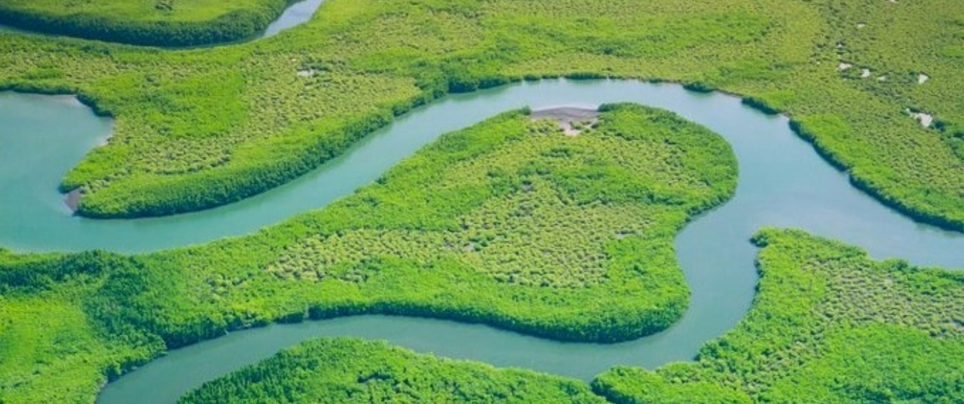
Thriving mangroves are key to the health of nature and effective climate action. They are a critical ecosystem, under significant pressure, providing a host of ecosystem services with an estimated value of US$25 trillion annually.
Aberystwyth University’s Earth Observation and Ecosystem Dynamics Research Group led the scientific development of and technical implementation for mapping and monitoring mangrove forests globally through the Global Mangrove Watch (GMW).
The GMW datasets form the reference mangrove extent for the UN Environment Programme (UNEP), tracking progress towards Sustainable Development Goal (SDG) 6.6.1, which aims to halt degradation and destruction of water-related ecosystems. The GMW mangrove extent maps have also been used by NGOs and governments to monitor mangrove extent, in turn informing mangrove restoration and protection.
The Research
Since 2014, AU’s Earth Observation and Ecosystem Dynamics Research Group has focused on quantifying, understanding, and addressing local to global environmental change through Earth Observation.
This research led to the Global Mangrove Watch (GMW) datasets, which focus on providing standardised and consistent global mapping of mangrove extent and change for multiple epochs to address a major global data and knowledge gap.
Globalmangrovewatch.org is a free and openly available online platform that provides the remote sensing data and tools for monitoring mangroves necessary for this. It gives universal access to near real-time information on where and what changes there are to mangroves across the world, and highlights why they are valuable.
The Impact
Informing Public Policy
GMW Database Supported National Governments and NGOS
Monthly Alerts of Mangrove Loss Across the African Continent Used to Monitor Mangrove Changes and to Track Success in Decreasing Mangrove Loss

Get in touch
As a University, we’re always keen to share our knowledge and expertise more widely for the benefit of society. If you’d like to find out more or explore how you can collaborate with our researchers, get in touch with our dedicated team of staff in the Department of Research, Business and Innovation. We’d love to hear from you. Just drop an e-mail to:
Research Impact Case Studies | Research Theme: Environment